Sicily’s Favignana Island: Swimming in the Waters of Antiquity
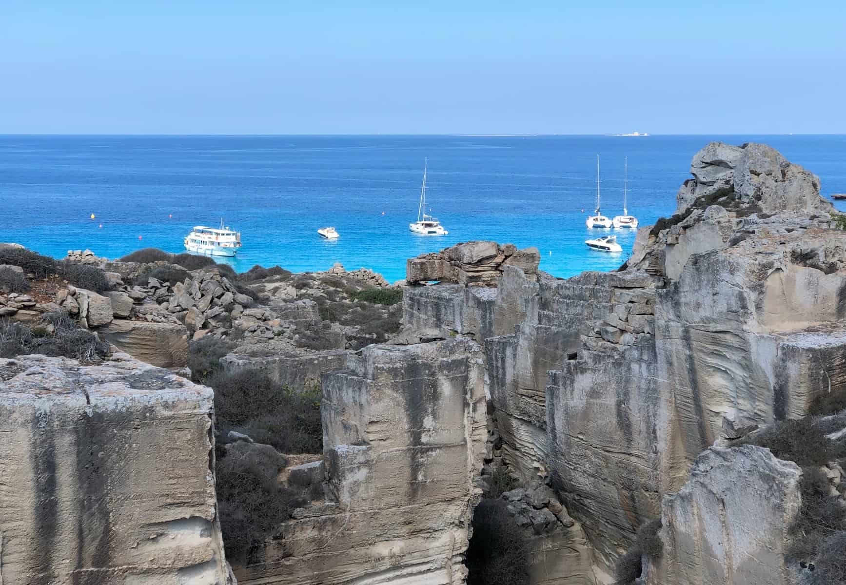
Sicilian beaches make regular resorts seem bland. Consider Favignana, the largest of Sicily’s Egadi Islands. Here you can bask in the Cala Rossa, where the water once ran red with the blood of Rome’s enemies. Caves hold traces of human settlement dating back to the Paleolithic era, while ancient quarries and structural remnants blend back into the landscape. But the real star is the water, with scintillating stripes of deep azure slashing through turquoise.
geography
The Egadi Islands lie 11 miles (18 km) off the western coast of Sicily, near the city of Trapani. They were declared a nature reserve in 1991, and have few paved roads.
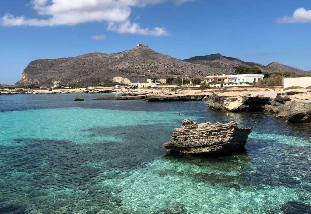
At about 7.5 square miles (20 km2), Favignana is the largest of the three main Egadi islands. Its characteristic butterfly shape comprises a slightly elongated ‘wing’ on the east and a larger, more rounded ‘wing’ to the west; the main town lies right in the middle. The eastern side is relatively flat, while the west is fairly mountainous. At 1,030 feet (314 meters), Monte Santa Caterina is the tallest point, and the fort on top makes it easy to distinguish.
history of the Egadi Islands
Several caves in Favignana’s San Nicola area show evidence of humans dating back about 14,000 years. Written records begin with the Greeks and Phoenicians. The latter used Favignana as a convenient stopping-point on shipping routes as early as the eighth century BCE. Rome’s defeat of the Carthaginians here in 241 BCE (the climax of the First Punic War) marks a major turning point in world history. The Romans’ victory allowed them to annex the island of Sicily, the first of many conquests for the emerging empire.

When the Roman Empire collapsed, the Egadi Islands were invaded by the Vandals and then the Goths, before being seized by the Arabs beginning to take over Sicily. In the late 11th century, Normans began their own invasion. They started with some fortifications on Favignana, most notably the now-abandoned fort at the top of Santa Caterina.
After the Normans, control of the Egadi Islands switched hands constantly. With their prime location for maritime trade and burgeoning tuna harvests, they made useful bargaining chips. (A 15th century nobleman adopted the title “Baron of Tuna” when he acquired rights to the islands.) Of course, proximity to the flow of goods through Trapani’s prosperous port also made the Egadis irresistible to pirates.
When the Bourbons assumed control of Sicily in 1735, they began using Favignana as a prison and a place to contain political opponents. This role continued through the unification of Italy and the Facist period. During World War II, the island acquired military fortifications, many of which remain today.
Favignana’s landscape
Known to the Greeks as the “island of goats,” Favignana was once rich in vegetation. Today it’s largely deforested and goat-less. The current name derives from favonio, a warm western wind common to the area.
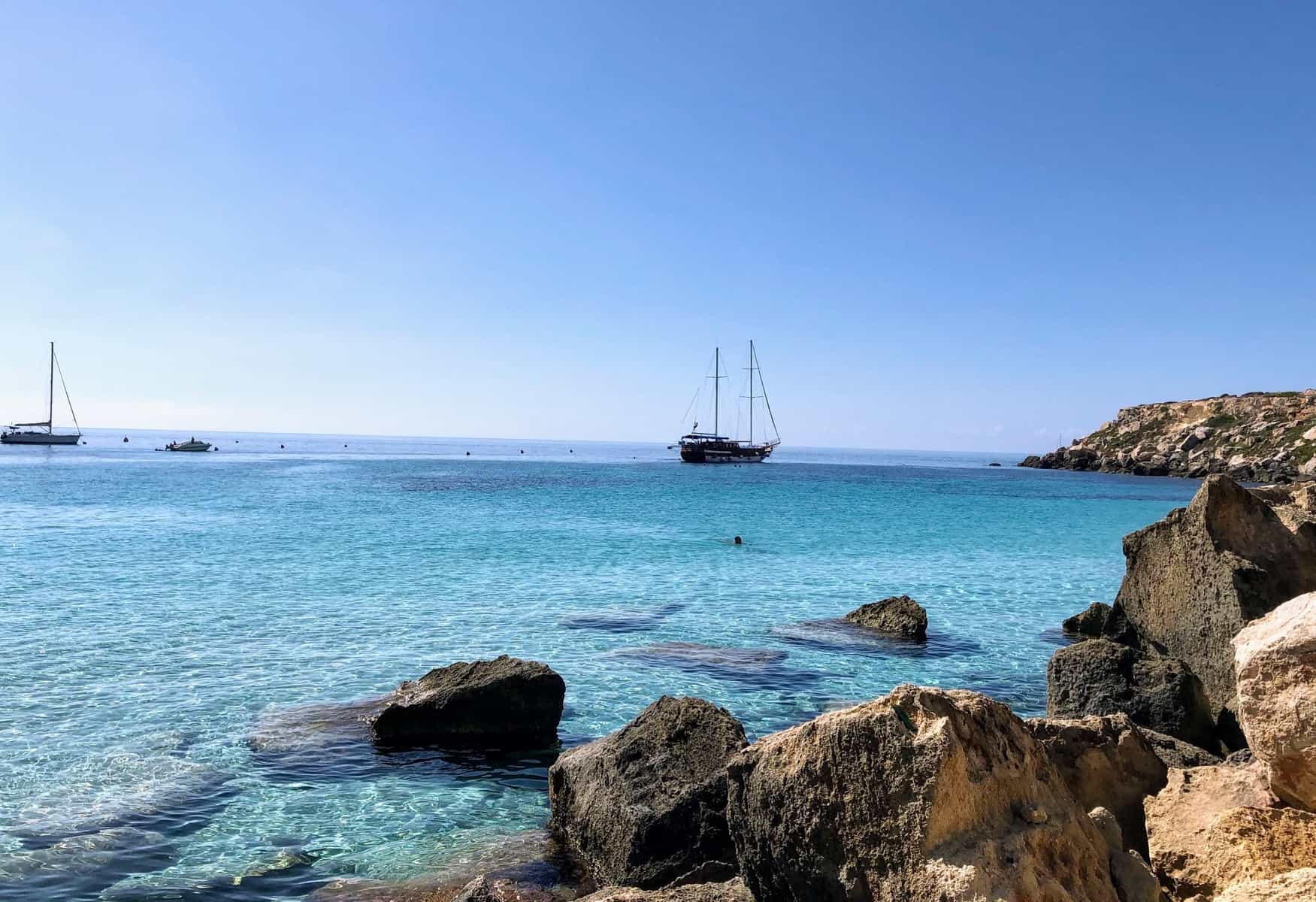
It may look barren at first, but Favignana’s landscape holds plenty of surprises. Chief amongst them – for us, anyway – were the myriad pieces of earlier structures. Sometimes we came across a whole row of house-size foundations; other times it was just a short flight of steps carved into a rock next to the water.
Further blurring the line between natural and man-made, former tuff rock quarries dot the island, especially the eastern half. The white rock was a major source of income for Favignana from Roman times until the advent of reinforced concrete. Most of the quarries were small in scale, and residents eventually incorporated some of the ravines and ditches into gardens and houses.
getting there and getting around
Although the island has a number of small hotels and AirBnbs, most visitors come for the day. (The Egadi Islands are a popular getaway for Sicilians.) When we visited on a Saturday in late September, the ferry from Trapani was full.
Ferries run frequently from Trapani and Marsala to the Egadi Islands. During peak season (traditionally July-August) and on weekends, it’s a good idea to purchase tickets in advance at the Liberty Lines booth in the harbor. The ride takes about 30 minutes and costs around €20 round-trip. Note that you’ll need to reserve your return ferry time when you purchase a round-trip ticket. Since Favignana contains more than enough to fill an entire day, we recommend a morning ferry with a late afternoon or early evening return.
Bicycles are the main mode of transport on the island, and the area around the port abounds with rental shops. Most bikes feature electric power boosters which can be adjusted or turned off entirely. This is important because some of the “roads” are so full of rocks that full speed would be hazardous. However, an extra boost helps on hills and the longer paved stretches through the middle of the island. Renting a regular bike for the day costs about €5, and electric bikes about €10.
Every map of Favignana shows the island a bit differently – and none of them can help when the actual roads and trails don’t have signposts. Getting lost is common, which is why day trip visitors should avoid the more rugged, less populated western side of the island. We started with the intention of following the coastline, but soon became more interested in zipping along in the sunshine, checking out the landscape.
Favignana beach highlights
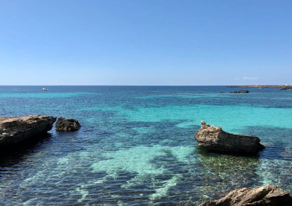
Favignana’s jagged coastline contains dozens of beaches, many unnamed. Our favorite spot turned out to be a near-empty stretch between the Lido Burrone and Calamoni, where a series of large rocks scattered on the sand made miniature coves. The extra-high levels of salt in the Mediterranean make it especially easy to float in the warm sea.
Favignana’s most notable beaches include:
Cala Rossa

Cala Rossa means Red Cove; this little bay reportedly filled with blood during the final battle of the First Punic War. Vastly outnumbered Romans managed to sink 120 Carthaginian vessels and take 10,000 prisoners (!) for their first major overseas victory. The rocky beach lies at the base of a slightly precipitous hill.
Bue Marino

Named for the monk seals, although we didn’t see any.
If you’re willing to soldier through some rocky tracks, this spot rewards with perhaps the most dramatic scenery on the island. There’s no beach per se, but the cliffs break up into sections perfect for admiring the water, and the swimming is sublime.
Cala Azzurra
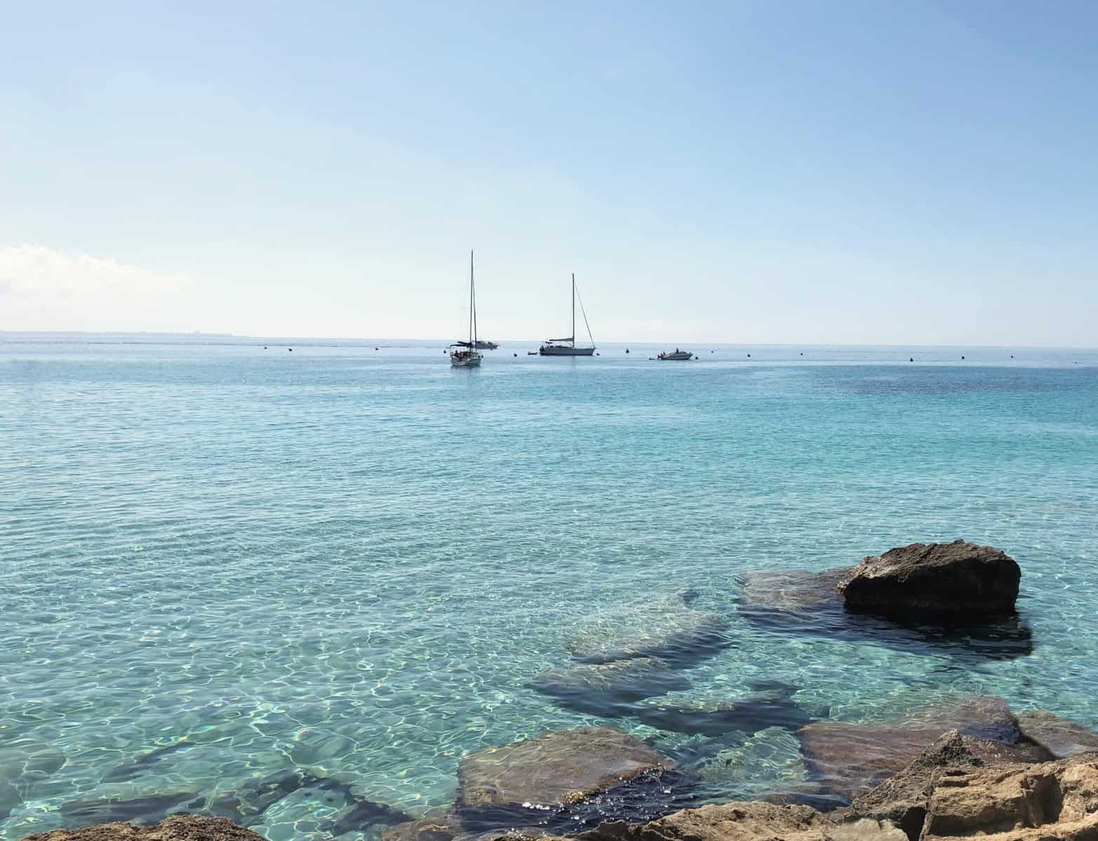
Named for the color of the water, which is especially enticing here. We heard there’s a sand beach, although we didn’t find it. We saw lots of large rocks, many of which had people on them – maybe they couldn’t find the sand, either? There is a nice café across the road.
Lido Burrone

I’m not sure what the “ravine” in the name refers to, as this was the flattest and most accessible beach we visited. It was also more like a typical resort, with sand instead of rocks and a string of shaded – and busy – restaurant/cafes along the side.
Favignana Town

Past the port and bike rental shops, a few small streets make a pleasant place to eat or wait for the ferry. While there aren’t any major historic sites in town, we enjoyed sitting in the piazza with gelatos and watching the fisherman work at the jetty as we waited for our return ferry.
Further Reading
See our Sicily page for more posts.

